El Camino del Agua
A route that will join the Senda Litoral (Coastal Path) and the Gran Senda (Great Path)
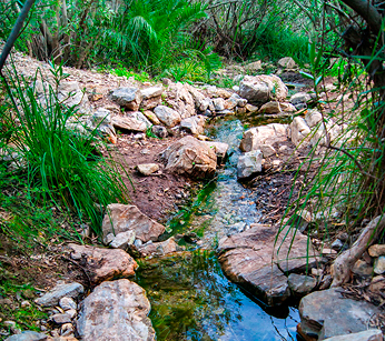
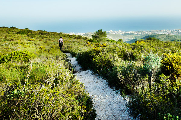
The Camino del Agua is an ambitious project by Torremolinos Town Hall that will form a route connecting the Senda Litoral and the Gran Senda de Málaga by way of an urban tour through the town’s main streets and then a short pathway (PR-A172) in los Pinares. A route that showcases the culture of water in the municipality.
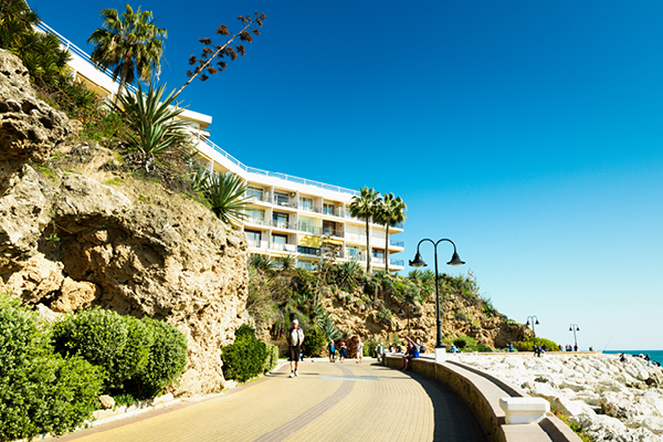
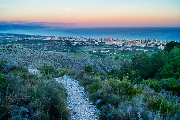
It can be walked in two directions. If the rambler prefers to start by the sea and finish in the mountains, the ideal departure point is Bajondillo beach, which forms part of the promenade or paseo marítimo (more than six kilometres by the town’s six beaches) and is integrated into the Senda Litoral. The hiker can go up calle Peligro until joining plaza Costa del Sol. The route continues along calles María Barrabino, Isabel Manoja, Europa, Rafael Quintana and Horacio Lengo, crossing the dual carriageway and arriving at the footpath, and hermitage, of los Pinares. From there, it is possible to join the short pathway PR-A 172, which leads to the mountains, heading for the Gran Senda de Málaga.
Along its urban stretch, the Camino del Agua follows in the historical footprints left by the culture of water that shaped the historical evolution of Torremolinos, taking in public fountains, water troughs, watercourses and mills like Inca, Manoja and Bóveda. The rural stretch continues until the Puerto del Canuto, where various uses of natural resources can be seen –cultivated terraces, limestone quarries, natural grottoes–, following the course of the ditch that leads from the spring of el Cañuelo.

Details
Weather forecast
 0%
0% 15 km/h NorthWest
 Min:15º C / Max:24º C
 Ind. UV: 8
 Little Bit Cloudy
 Weak to Weak
 17º C
17º COur places of interest
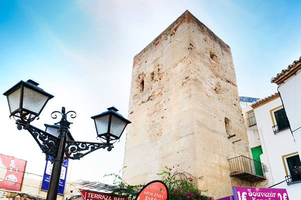
The origin of the town’s name is found in the Torre de los Molinos (Tower…
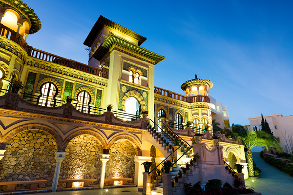
In the 1920s and 1930s, along with the first hotels such as Parador de Montemar…
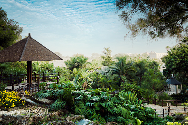
With its privileged position overlooking the sea, La Batería park is one of the green…
This complex lies just outside the town centre on Camino de los Pinares, next to…
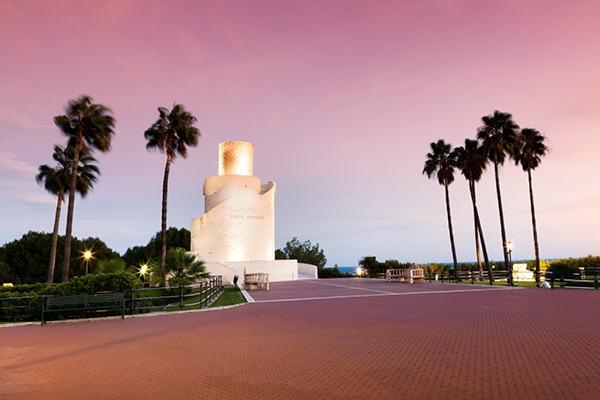
This magnificent natural monument is visible from practically every part of the Torremolinos coastline. The…
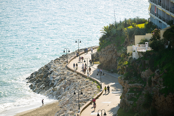
The Senda Litoral is a grand tour from one end of the Costa del Sol…
The Camino del Agua is an ambitious project by Torremolinos Town Hall that will form…
The Gran Senda de Málaga (Great Malaga Path) is a pioneering route in Andalusia. It…
Torremolinos hosts a magnificent natural expanse just minutes from the town centre. The outstanding feature…