La Gran Senda (Great Path)
Torremolinos forms part of this trail that connects the province of Malaga
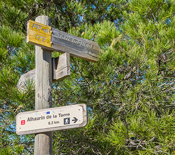
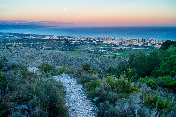
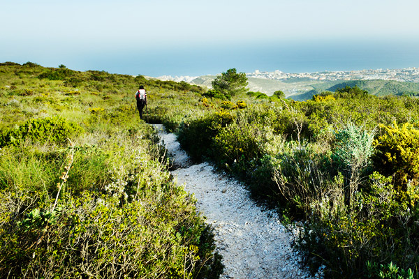
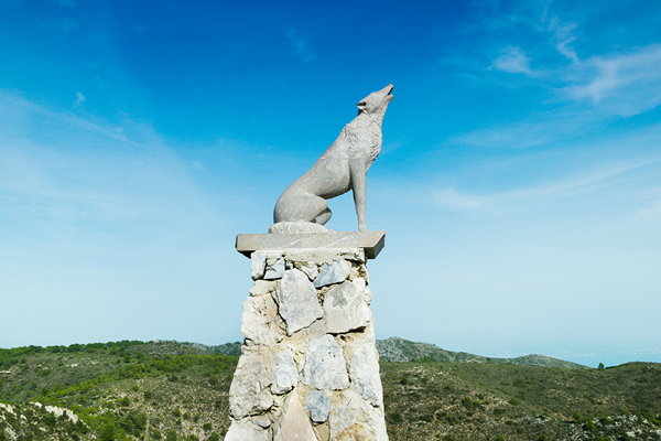
The Gran Senda de Málaga (Great Malaga Path) is a pioneering route in Andalusia. It connects with the Camino Mozárabe de Santiago (Mozarab Way of St James) and forms part of the national and European network of paths. Its stage 34 (GR 249, Benalmádena-Alhaurín de la Torre) passes by Torremolinos, in an interesting lineal route of 4.2 kilometres which crosses the highest points of the municipality’s mountains and connects with the Benalmádena cable car, the starting point of several hiking trails. It is a route where a wealth of flora and fauna can be appreciated.
The stage includes a variety of interesting features, such as the Punta Paloma survey point, with magnificent panoramic views of the Bay of Malaga and Torremolinos, or the link with the PR-A 172 and the Camino del Agua (Water Trail) from the pass of Puerto del Canuto, close to Corrales de Caliche (Caliche livestock pens). The route between Torremolinos and Alhaurín de la Torre ran through this area, which was the site of intensive farming and considerable black market activity.
The pass of Puerto Blanquillo is surrounded by thick pine forest visible from the Guadalhorce valley, with el Torcal in the background. From here, there is access to the municipally owned Cañada de Lobo, mountain complex, which brings together various buildings of interest and offers rural lodgings. The design, location and construction volume of the buildings and infrastructure are extremely respectful of the environment and ensure they cannot be seen from the motorway, to the extent that the refuge and shelter are only perceptible on arrival at the complex.
Details
Weather forecast
 0%
0% 15 km/h SouthEast
 Min:23º C / Max:29º C
 Ind. UV: 10
 Clear
Clear Weak to Weak
 23º C
23º COur places of interest
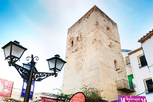
The origin of the town’s name is found in the Torre de los Molinos (Tower…
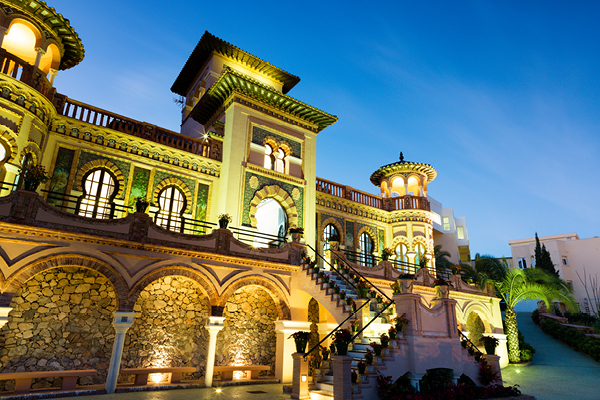
In the 1920s and 1930s, along with the first hotels such as Parador de Montemar…
With its privileged position overlooking the sea, La Batería park is one of the green…
This complex lies just outside the town centre on Camino de los Pinares, next to…
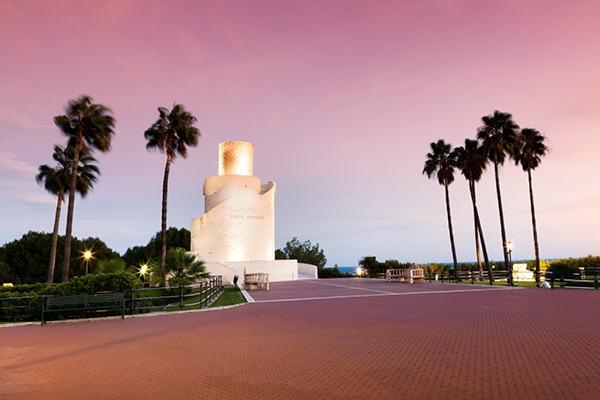
This magnificent natural monument is visible from practically every part of the Torremolinos coastline. The…
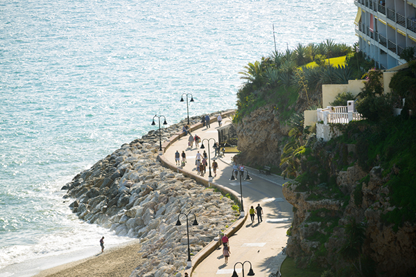
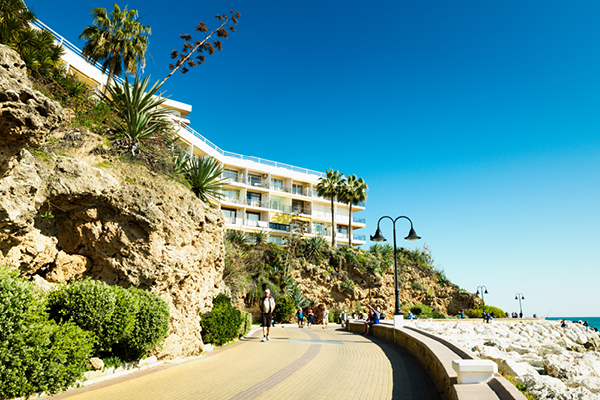
The Senda Litoral is a grand tour from one end of the Costa del Sol…
The Camino del Agua is an ambitious project by Torremolinos Town Hall that will form…
The Gran Senda de Málaga (Great Malaga Path) is a pioneering route in Andalusia. It…
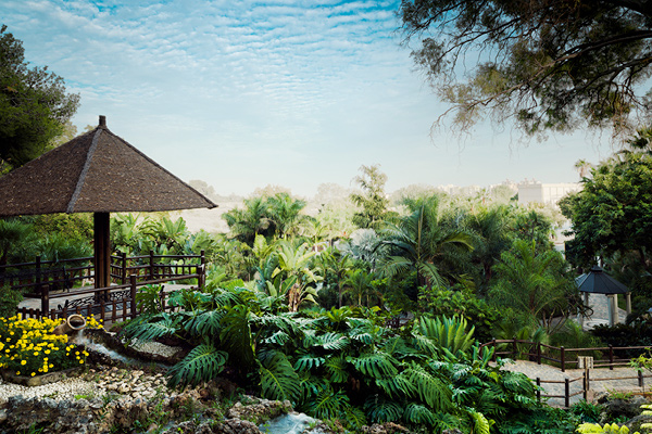
Torremolinos hosts a magnificent natural expanse just minutes from the town centre. The outstanding feature…